Landlocked Laos shares borders with China, Myanmar, Thailand, Cambodia and Vietnam. It covers 235,000 sq km, an area slightly larger than Great Britain. All. of Laos lies within the tropics, between latitudes 14°N and 23°N and longitudes 1000E and 10goE. Rivers and mountains dominate the topography, and their interaction accounts for most of the country's geographic variation.
Four biogeography zones are recognized: the northern Indochina hilly subtropical sector (most of the north); the Annam Trung Son mountain chain (bordering Vietnam from Bolikhamsai Province in the north to Attapeu in the south); the central Indochina tropical lowland plains (along the Mekong River floodplain from Sainyabuli to Champasak); and a small section forming the Indochina transition zone (at the northern tip of Phongsali Province).
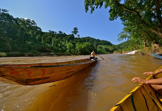
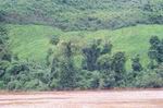
Starting 4350km·From the sea, 5000m up on the Tibetan Plateau, the Mekong River is known as Lancang Jiang (Turbulent River) in China, Mae Nam Khong in Thailand, Myanmar and Laos, Tonle Thorn (Great Water) in Cambodia and Cuu Long (Nine Dragons) in Vietnam. Half its length runs through China, after which more of the river courses through Laos than through any other South-East Asian country. At its widest, near Si Phan Don in the south, the river can measure 14km across during the rainy season. The Mekong's 549km middle reach is navigable year-round, from Hcuan Hin (north of the Khcmmnrat Rapids in Savannakhet) to Kok Phong, Luang Prabang, 1074km and 1623km respectively from the sea.
All the rivers and tributaries west of the Annamite Chain drain into the Mekong. Waterways east of the Annamites (in Hua Phan and Xieng Khuang Provinces only) flow into the Gulf of Tonkin off the coast of Vietnam.
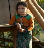
The Mekong River valley and its fertile floodplains form the country's primary agricultural zones as well, including virtually all of the country's wet-rice lands. The 'two largest valley sections surround Vientiane and Savannakhet, the major population centres. The Mekong and its tributaries are also an important source of fish, a mainstay of the Lao diet.
Major tributaries of the great river include the Nam Ou and the Nam Tha, both of which flow through deep, narrow limestone valleys from the r1Orth, and the Nam Ngum, which flows into the Mekong across a broad alluvial plain in Vientiane Province. The Naill Ngum is the site of a large hydro- electric plant that is a primary source of power for Vientiane area towns (see the Ecology & Environment and Economy sections in this chapter for more on Laos's hydroelectricity industry).
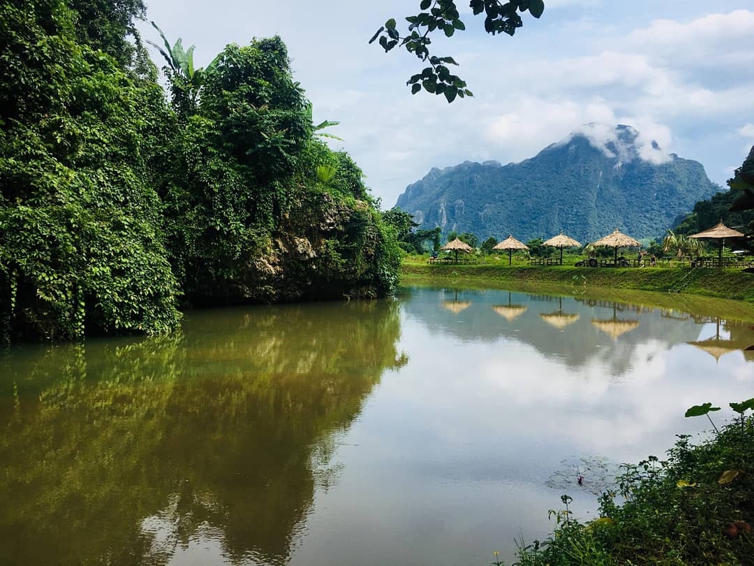
Mountains and plateaus cover well over 70% of the country. Running about half the length of Laos, parallel to the course of the Mekong River, is the Annamite Chain, a rugged mountain range with peaks averaging 1500m to 2500m in height. Roughly in the centre of the range is the Khammuan Plateau, an area of striking limestone grottoes and gorges. At the southern end of the Annamite Chain stands the 10,000-sq-km Bolaven Plateau, an important area for the cultivation of high-yield mountain rice, coffee, tea and other crops that flourish at higher altitudes.
The larger, northern half of Laos is made up almost entirely of broken, steep-sloped mountain ranges. The highest mountains are found in Xieng Khuang Province, including Phu Bia, the country's highest peak at 2820m. Just north of Phu Bia stands the Xicng Khuang plateau, the country's largest mountain plateau, whieh rises I 200m above sea level. The most famous part of the plateau is the Plain of Jars, an area dotted with huge prehistoric stone jars of unknown origin (see the Northern Laos chapter).